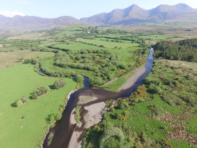
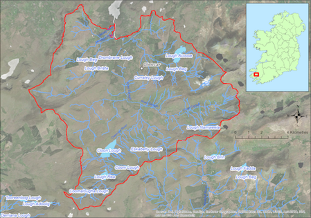
Located on the northern side of the Iveragh Peninsula this large catchment (127 sq km) drains to Caragh Lake to the North. The catchment covers the lower slopes of the Macgillicuddy’s Reeks and has a number of lakes including Lough Rea, Cloon Lough, and Lough Acoose from which the main tributaries flow northwards. The underlying geology is Old Red Sandstone and the dominant soil type is peat. Land use within the catchment includes forestry (8%), commonage, mixed livestock farming (ca 185 active farmers), and historic peat cutting. Angling is popular along the main river channels within the catchment. The population of freshwater pearl mussels is estimated to be ca. 3 million and occurs in the lower reaches in three of the main tributaries.
If you would like to see the catchment map in more detail, you can use our Eligible Areas Map.