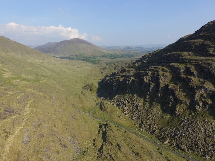
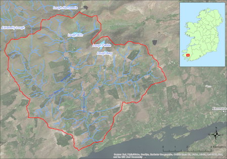
Located the southern side of the Iveragh Peninsula the catchment (88.3 sq km) drains to Kenmare Bay to the South. The catchment covers the lower slopes of the Macgillicuddy’s Reeks and has a number if lakes including Lough Brin from which the Kealduff River flows southwards. The underlying geology is Old Red Sandstone and the dominant soil type is peat. Land use within the catchment includes extensive areas of forestry (15%), mixed livestock farming (ca 116 active farmers), and historic peat cutting. The population of freshwater pearl mussels is estimated to be ca. 2.7 million and occurs in the lower reaches of all of the main tributaries.
If you would like to see the catchment map in more detail, you can use our Eligible Areas Map.