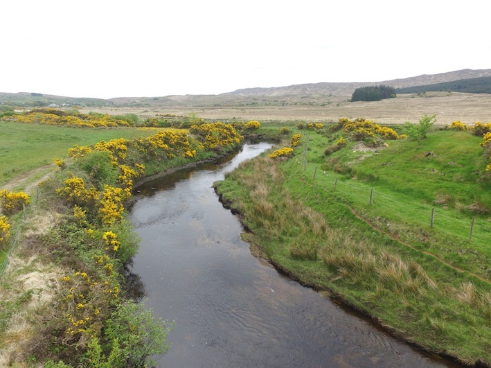
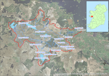
Located to the West of Oughterard this catchment (67.4 sq km) drains to Lough Corrib to the East. The catchment covers some of the upper and lower slopes of the Twelve Bens mountain range and has a number of lakes including Lough Boffin, Lettercraffroe Lough, and Lough Agraffard. The underlying geology is predominantly acid with the exception of the segment of the Owenriff River in the vicinity of Oughterard which is alkaline in nature. The dominant soil type is peat with extensive areas of blanket bog. Land use within the catchment includes extensive areas of forestry (17%), commonage, mixed livestock farming (ca 111 active farmers), and both active and historic peat cutting. Angling is popular along the main river channels within the catchment. The population of freshwater pearl mussels is estimated to be ca. 2 million and is concentrated in the lower reaches of the Owenriff River.
If you would like to see the catchment map in more detail, you can use our Eligible Areas Map.