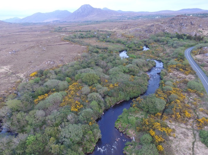
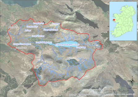
Located to the East of Renvyle and Letterfrack this catchment (53.1 sq km) drains to the sea at Ballynakill Bay to the West. The towns of Letterfrack and Kylemore are located within the catchment. The catchment covers some of the upper and lower slopes of the Twelve Bens mountain range and has a number of lakes including the well known Kylemore Lough from which the Dawros River flows westwards. The underlying geology is predominantly acid. The dominant soil type is peat with extensive areas of blanket bog. Land use within the catchment includes forestry (7%), commonage, mixed livestock farming (ca 74 active farmers), and both active and historic peat cutting. Angling is popular along the main river channels within the catchment. The population of freshwater pearl mussels is estimated to be ca. 1 million and is concentrated in the lower reaches of the Dawros River.
If you would like to see the catchment map in more detail, you can use our Eligible Areas Map.