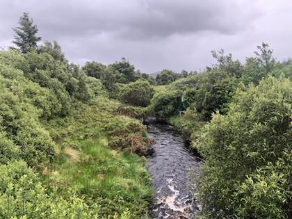
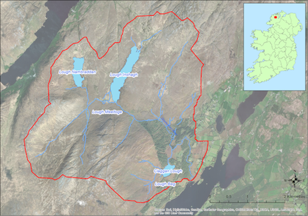
Located in a rural area approximately 10km west of Letterkenny this catchment (17.5 sq km) drains into Gartan Lough to the east. The catchment covers some of the upper and lower slopes of the Derryveagh Mountains and there are a number of lakes including Lough Inshagh from which the main tributary stream of the Glaskeelan River flows south-eastwards. The underlying geology is predominantly acid comprising granite. The dominant soil type is peat. Land use within the catchment includes forestry (7%), extensive areas of commonage, and sheep farming (ca 44 active farmers). The population of freshwater pearl mussels is estimated at ca 10,000 and is concentrated in the lower reaches of the Glaskeelan River.
If you would like to see the catchment map in more detail, you can use our Eligible Areas Map.